Girgaon: Difference between revisions
Jump to navigation
Jump to search
No edit summary |
Corrected map location |
||
| Line 2: | Line 2: | ||
|presidency= [[Bombay (Presidency)|Bombay]] | |presidency= [[Bombay (Presidency)|Bombay]] | ||
|image= | |image= | ||
|coordinates= [https://www. | |coordinates= [https://www.goo.gl/maps/Aw1Ig 18°57'10.8"N 72°48'46.8"E] | ||
|altitude= 12 m (39 ft) | |altitude= 12 m (39 ft) | ||
|presentname= [https://en.wikipedia.org/wiki/Girgaon Girgaon] wikipedia | |presentname= [https://en.wikipedia.org/wiki/Girgaon Girgaon] wikipedia | ||
Revision as of 13:32, 20 September 2015
| Girgaon | |
|---|---|
| [[Image:|250px| ]] | |
| Presidency: Bombay | |
| Coordinates: | 18°57'10.8"N 72°48'46.8"E |
| Altitude: | 12 m (39 ft) |
| Present Day Details | |
| Place Name: | Girgaon wikipedia |
| State/Province: | Maharashtra wikipedia |
| Country: | India |
| Transport links | |
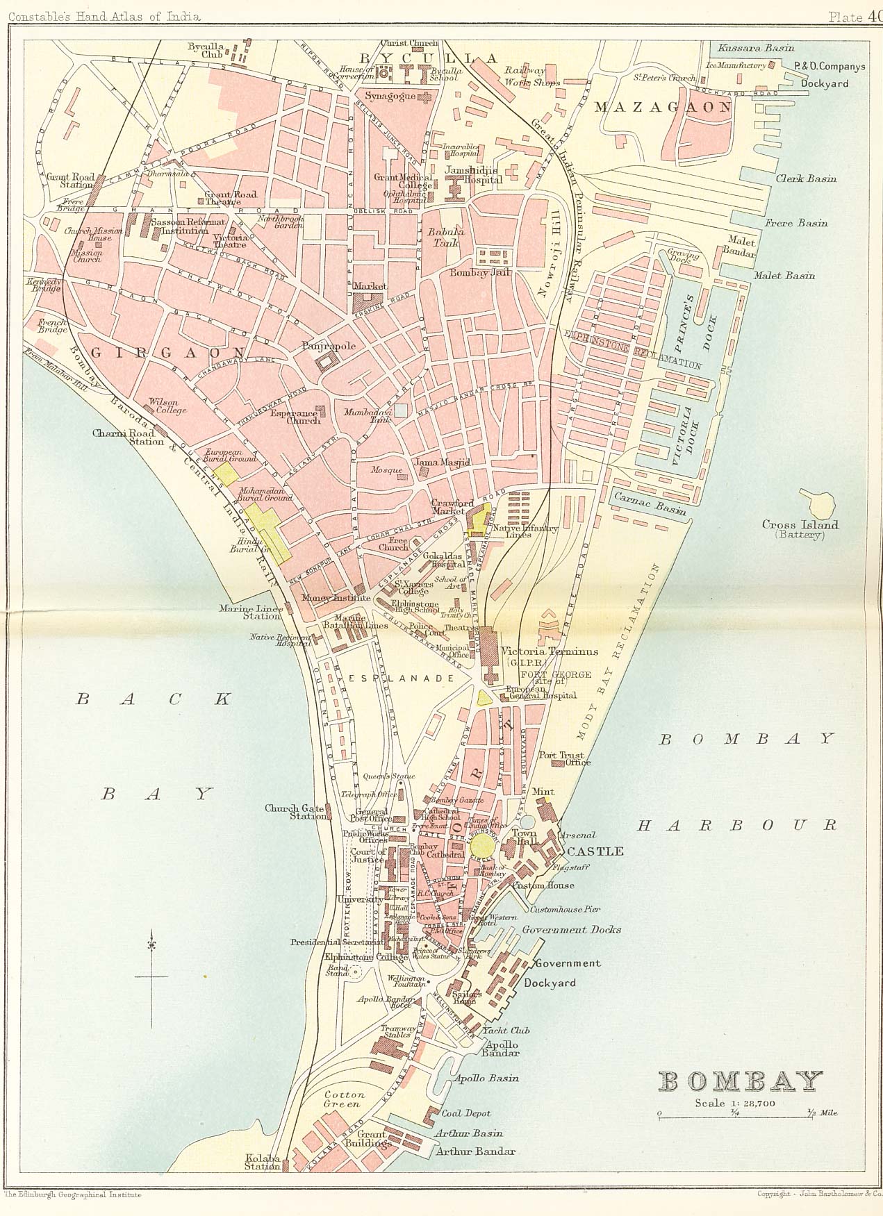
Girgaon is an area in the southern part of Bombay City.
Note: there was also a Girgaon located near Morar, Gwalior [1]
Spelling variants
Girgaon, Girgaum, Girigaum
External links
- Girgaon Wikipedia
- 1893 Map of Bombay showing Girgaon (top left). Ian Poyntz's "Historical Maps of India"