Seringapatam
| Seringapatam | |
|---|---|

| |
| Presidency: Madras | |
| Coordinates: | 12.418346°N 76.695989°E |
| Altitude: | 679 m (2,228 ft) |
| Present Day Details | |
| Place Name: | Srirangapatna |
| State/Province: | Karnataka |
| Country: | India |
| Transport links | |
| Mysore State Railway | |
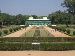
Seringapatam was in the State of Mysore and the town (now Srirangapatna) is an important place of pilgrimage. It was the capital of Hyder Ali and his son, Tipu Sultan, and also the location of the last and decisive battle in 1799 between Tipu and the British.
History
Siege of Seringapatam 1792
Battle of Seringapatam 1799
Spelling Variants
Modern name:Srirangapatnam, Srirangapattana
Variants: Seringapatam, Srirangapatna, Srirangapattang
External links
Srirangapatna Wikipedia