File:Map state dir.gif
No higher resolution available.
Map_state_dir.gif (700 × 600 pixels, file size: 11 KB, MIME type: image/gif)
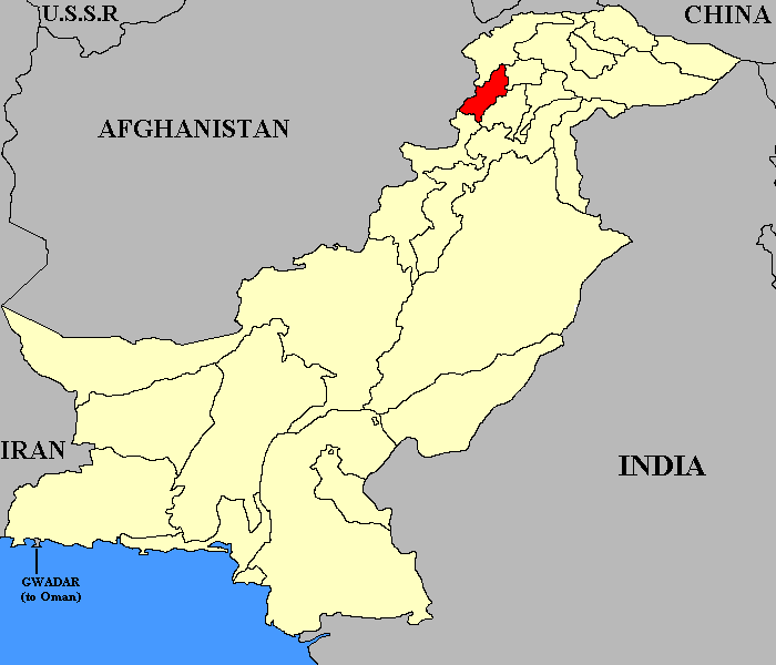
Map of the former State of Dir in NWFP, Pakistan.
| Image Origin and License | |
|---|---|
| License: | Public Domain |
| Author: | Green Giant |
| Source: | English Wikipedia |
| URL of original file: | http://en.wikipedia.org/wiki/File:Dir_Map.gif |
| Alterations: | none |
| See this template and instructions | |
File history
Click on a date/time to view the file as it appeared at that time.
| Date/Time | Thumbnail | Dimensions | User | Comment | |
|---|---|---|---|---|---|
| current | 10:15, 26 October 2009 | | 700 × 600 (11 KB) | Rzafar (talk | contribs) | Map of the former State of Dir in NWFP, Pakistan. {{Template:ImageOL |License= Public Domain |Author= Green Giant |Source= English Wikipedia |URL= http://en.wikipedia.org/wiki/File:Dir_Map.gif |Alterations= none }} Category:Pakistan images [[Cate |
You cannot overwrite this file.
File usage
The following page uses this file: