File:Bahrun River Bridge.png
Revision as of 17:27, 24 November 2020 by PEA-2292 (talk | contribs) ('''Bahrun Valley Viaduct ''' Top map from "Imperial Gazetteer of India, v. 26, Atlas 1909 edition, Railway Map--Sectional (1), p. 23." Extracted from [https://dsal.uchicago.edu/reference/gaz_atlas_1909/pager.html?object=29 Click here] and Zoomed usin...)
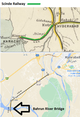
Size of this preview: 410 × 599 pixels. Other resolutions: 164 × 240 pixels | 442 × 646 pixels.
Original file (442 × 646 pixels, file size: 177 KB, MIME type: image/png)
Summary
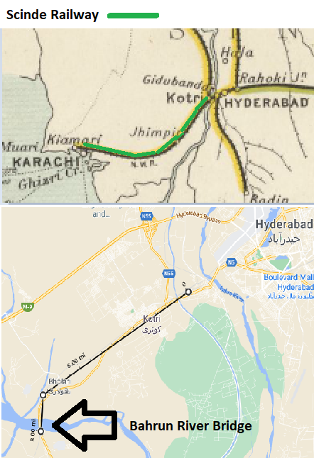
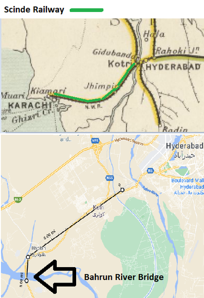
Bahrun Valley Viaduct
Top map from "Imperial Gazetteer of India, v. 26, Atlas 1909 edition, Railway Map--Sectional (1), p. 23."
Extracted from Click here and Zoomed using navigation window. Marked up with route of railway
Lower Map from Google Maps. Marked up with location of the Viaduct
Licensing
|
|
This work is licensed under the Creative Commons Attribution 3.0 unported License. Specific Attribution: None specified Anyone may use this image for any purpose provided it is attributed as specified. |

File history
Click on a date/time to view the file as it appeared at that time.
| Date/Time | Thumbnail | Dimensions | User | Comment | |
|---|---|---|---|---|---|
| current | 17:26, 24 November 2020 | | 442 × 646 (177 KB) | PEA-2292 (talk | contribs) | '''Bahrun Valley Viaduct ''' Top map from "Imperial Gazetteer of India, v. 26, Atlas 1909 edition, Railway Map--Sectional (1), p. 23." Extracted from [https://dsal.uchicago.edu/reference/gaz_atlas_1909/pager.html?object=29 Click here] and Zoomed usin... |
- You cannot overwrite this file.
File usage
The following page uses this file: