File:Jaharia Coalfields Railways Google Map.png
Revision as of 15:14, 24 April 2019 by PEA-2292 (talk | contribs) ('''Jharia Coalfield Railways''' Map from Google Maps, marked up with line of route and place names added Category:Railway maps)
Size of this preview: 673 × 599 pixels. Other resolutions: 270 × 240 pixels | 823 × 733 pixels.
Original file (823 × 733 pixels, file size: 235 KB, MIME type: image/png)
Summary
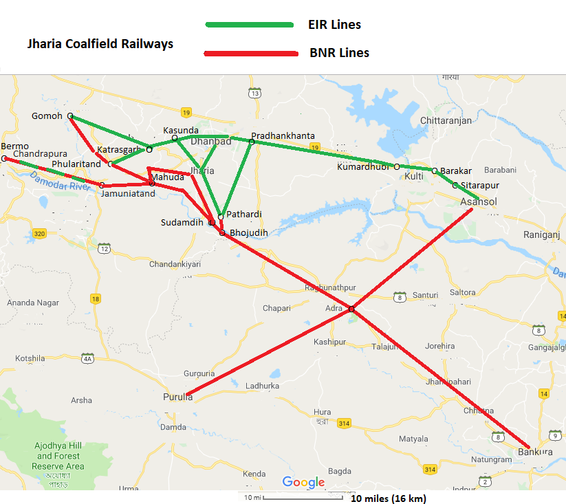
Jharia Coalfield Railways
Map from Google Maps, marked up with line of route and place names added
Licensing
|
|
This work is licensed under the Creative Commons Attribution 3.0 unported License. Specific Attribution: None specified Anyone may use this image for any purpose provided it is attributed as specified. |

File history
Click on a date/time to view the file as it appeared at that time.
| Date/Time | Thumbnail | Dimensions | User | Comment | |
|---|---|---|---|---|---|
| current | 15:14, 24 April 2019 | | 823 × 733 (235 KB) | PEA-2292 (talk | contribs) | '''Jharia Coalfield Railways''' Map from Google Maps, marked up with line of route and place names added Category:Railway maps |
- You cannot overwrite this file.
File usage
The following page uses this file: