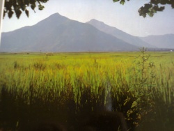
Mansehra
| Mansehra | |
|---|---|

| |
| Presidency: Bengal | |
| Coordinates: | 34.333333°N 73200000°E |
| Altitude: | 1,088 m (3,570 ft) |
| Present Day Details | |
| Place Name: | Mansehra |
| State/Province: | Khyber Pakhtunkhwa, Old NWFP |
| Country: | Pakistan |
| Transport links | |
Mansehra is a small town beyond Abbottabad some 30-35 minutes drive away.
It was originally established as a fortified hill village and market-place by a Sikh official, Man Singh, during the early 19th century and had a small fort and bazaar and some houses attached to it. Later on, after the British annexation of the Punjab in 1849, the town became the headquarters of Mansehra tahsil in Hazara District, North West Frontier Province.
Apart from some places of interest in the town itself, the present Mansehra district has a number of places with British colonial connections--such as the Kala Dhaka (Black Mountain) enclave and the Amb-Shergarh (Tanawal) area, which was once Amb State.
External Links
Mansehra Village Imperial Gazetteer