File:Kathiawar 1878 Map.jpg
Size of this preview: 800 × 548 pixels. Other resolution: 2,492 × 1,707 pixels.
Original file (2,492 × 1,707 pixels, file size: 2.87 MB, MIME type: image/jpeg)
Summary
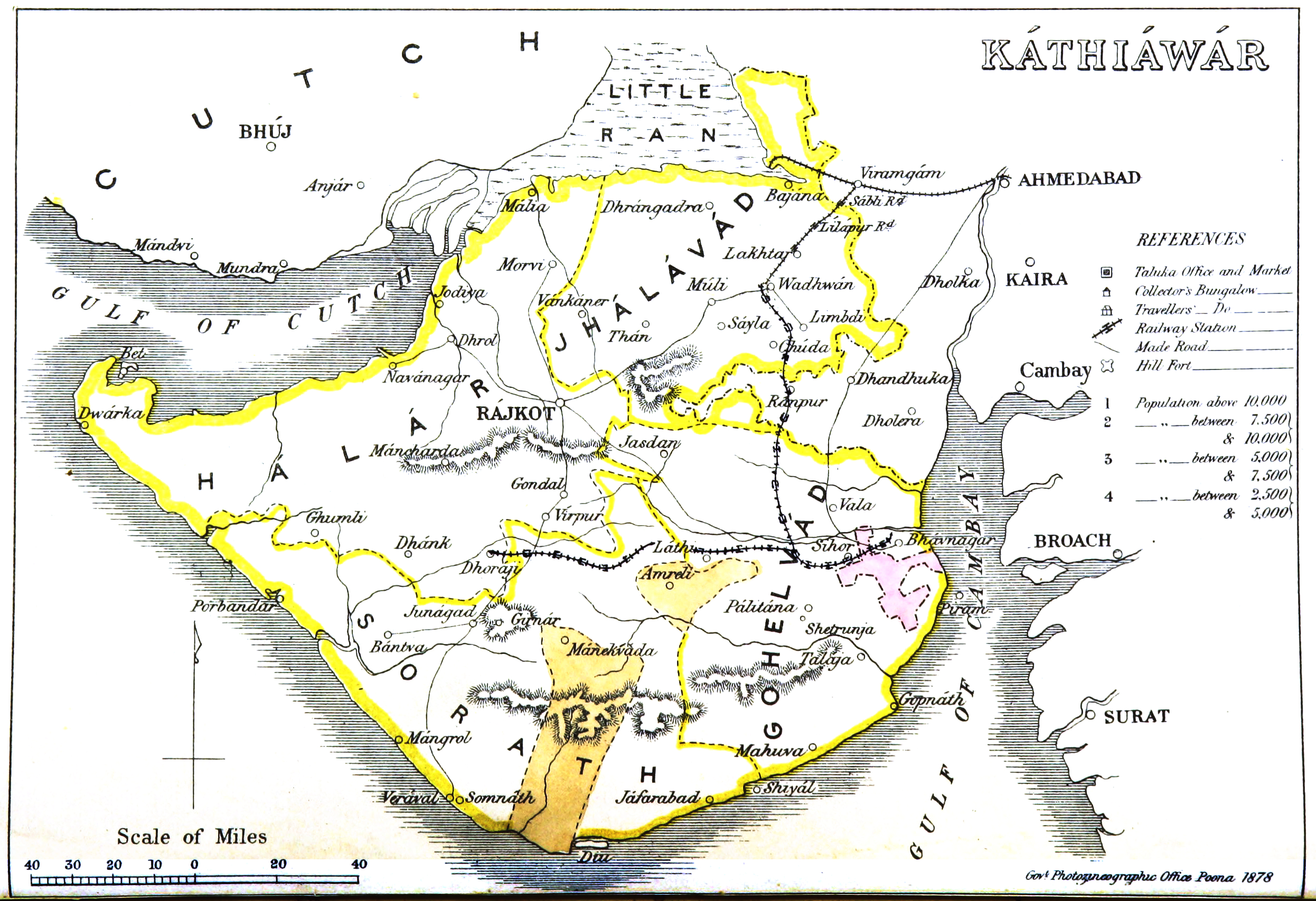
The Kathiawar 1878 Map produced by the Government Photographic Department, Poona dated 1878. Available at Wikimedia “Kathiawar Map, 1878”
Licensing
|
|
This work is licensed under the Creative Commons Attribution 3.0 unported License. Specific Attribution: None specified Anyone may use this image for any purpose provided it is attributed as specified. |

File history
Click on a date/time to view the file as it appeared at that time.
| Date/Time | Thumbnail | Dimensions | User | Comment | |
|---|---|---|---|---|---|
| current | 10:36, 18 June 2017 | | 2,492 × 1,707 (2.87 MB) | PEA-2292 (talk | contribs) | The '''Kathiawar 1878 Map''' produced by the Government Photographic Department, Poona dated 1878. Available at [https://upload.wikimedia.org/wikipedia/commons/4/4e/Kathiawar_map.jpg Wikimedia “Kathiawar Map, 1878”] |
You cannot overwrite this file.
File usage
The following page uses this file: