File:Kistna Viaduct Map.png
No higher resolution available.
Kistna_Viaduct_Map.png (676 × 459 pixels, file size: 440 KB, MIME type: image/png)
Summary
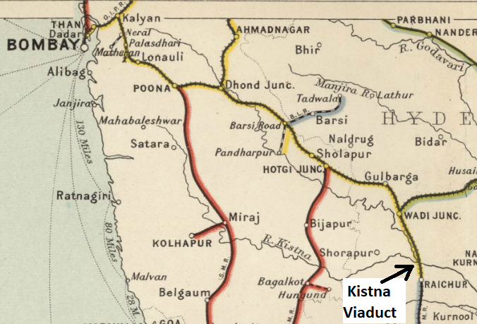
Kistna Viaduct
From "Imperial Gazetteer of India, v. 26, Atlas 1909 edition, Railway Map--Sectional (3), p. 25."
Extracted from Click here and Zoomed using navigation window. Marked up with route of railway
Licensing
|
|
This work is licensed under the Creative Commons Attribution 3.0 unported License. Specific Attribution: None specified Anyone may use this image for any purpose provided it is attributed as specified. |

File history
Click on a date/time to view the file as it appeared at that time.
| Date/Time | Thumbnail | Dimensions | User | Comment | |
|---|---|---|---|---|---|
| current | 14:50, 28 November 2020 | | 676 × 459 (440 KB) | PEA-2292 (talk | contribs) | '''Kistna Viaduct''' From "Imperial Gazetteer of India, v. 26, Atlas 1909 edition, Railway Map--Sectional (3), p. 25." Extracted from [https://dsal.uchicago.edu/reference/gaz_atlas_1909/pager.html?object=31 Click here] and Zoomed using navigation win... |
You cannot overwrite this file.
File usage
The following page uses this file: